
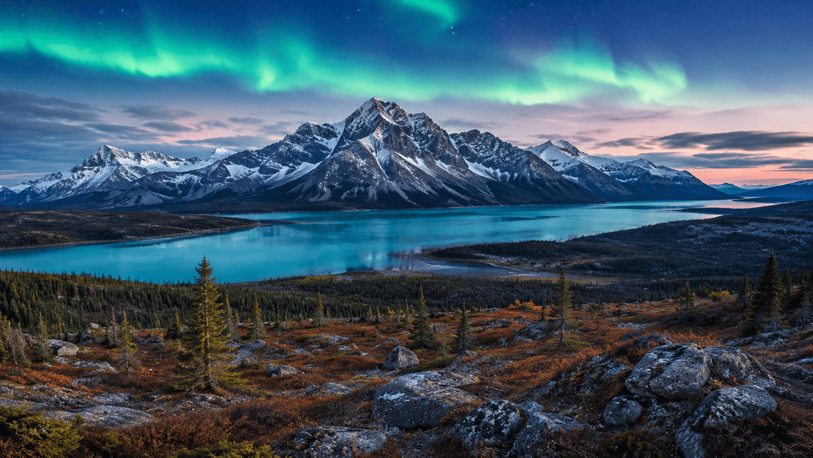
Tombstone Territorial Park straddles the Dempster Highway about 90 kilometres south of the Arctic Circle. The Tombstone Range rises from the tundra in sharp, dark granite spires — a landscape that looks more like Patagonia than anything most Canadians expect to find in their own country.
The golden hour that lasts a week
In late August the alpine tundra turns gold, orange, and crimson as dwarf birch and willow change colour. The contrast with the black peaks is extraordinary. Photographers and hikers come from around the world for this brief window. The park feels empty even when the small campground is full.
Trails into the backcountry
The Grizzly Lake and Goldensides trails lead into the heart of the range. Neither is easy — both involve elevation gain and unpredictable weather. But even a short walk from the interpretive centre rewards you with views that reset your sense of scale.
What to expect
No cell service in the park. The Dempster is gravel — drive carefully. Grizzly bears are present; carry bear spray and make noise on trails. The visitor centre at km 71 is worth a stop for trail conditions and Tr'ondëk Hwëch'in cultural context.